
Menu Port of Seattle Logo - Home

South Flow Operations Sample Flight Track Map

Winds from the south

When the winds are from the south, aircraft will depart the airport in a southerly direction and arriving aircraft will approach from the north. This operation occurs most commonly during the cooler, cloudier months of the year. The airport is in south-flow operations approximately 65 percent of the year.  
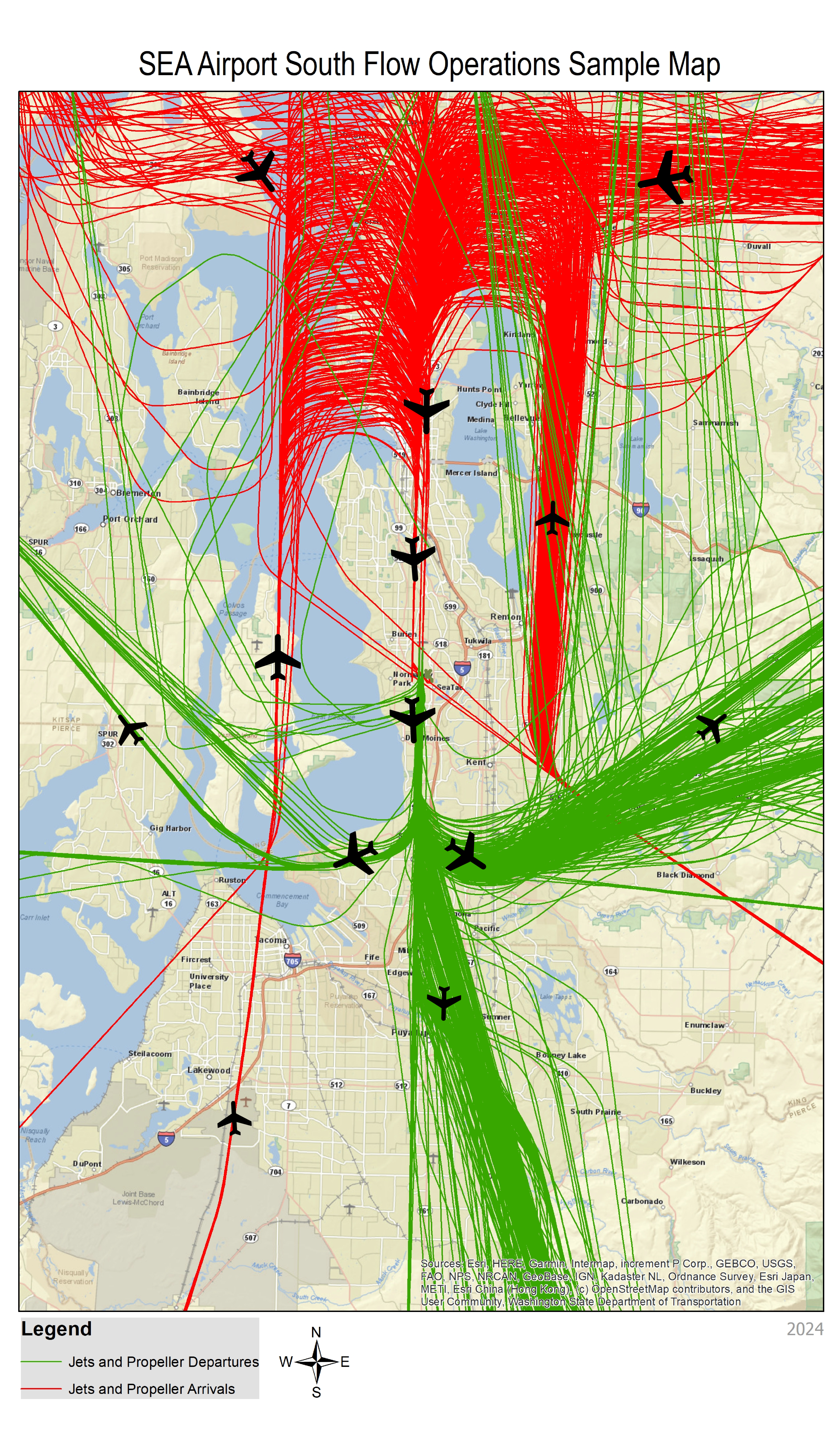
A map titled “SEA Airport South Flow Operations Sample Map” showing aircraft flight activity over the greater Seattle region. The map displays a beige‑colored base map with labeled cities, roads, and water bodies, including Puget Sound, Lake Washington, and surrounding communities. Numerous curved flight‑path lines cover the map: green lines represent jets and propeller departures, and red lines represent jets and propeller arrivals. The lines converge heavily around the airport area in the center of the map and extend in multiple directions north, south, east, and west. Black airplane icons are positioned along the various corridors to illustrate aircraft movement. A legend at the bottom identifies the meaning of the green and red lines. A compass rose appears near the bottom center showing north, south, east, west. The map is marked with “2024” in the lower right corner.