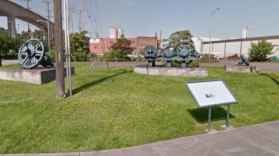
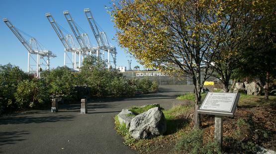
Located in the southwest corner of Terminal 18, Bridge Gear Park offers easy access with paved parking.
Bridge Gear Park provides public access to Harbor Island at a site dedicated to the gears from the original Spokane Street counter-weight draw bridge. The bridge relied on these gears to function, and now they are on display with some background information providing historical context. The gears are displayed on grassy mound.
It features a small parking lot and an interactive sign that describes how the original bridge functioned.
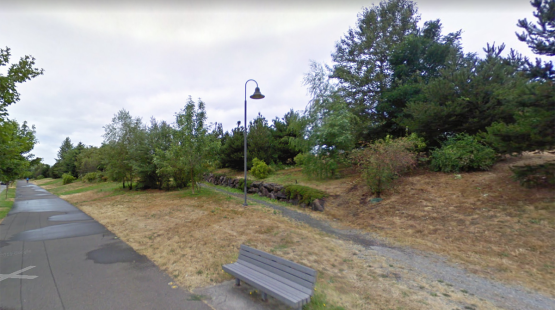
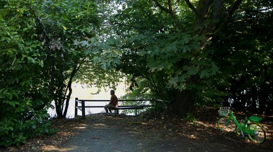
The Harbor Ave Trail is the southernmost segment of the Alki Trail. Located south of Jack Block Park, it spans just over 2,500' between SW Florida St on the north, and West Coast Self-Storage on the south. Benches are placed along the trail for a quick pit stop. It also includes a 600' off-trail section of natural beauty within city-limit landscape and is well lit. The green space is organically maintained and is inhabited by native species. Port of Seattle is working to ensure nature is always within reach!
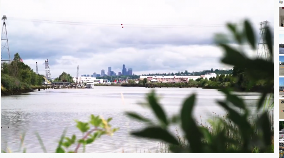
həʔapus Village Park & Shoreline Habitat (formerly Terminal 107 Park) is an important archaeological, cultural, and ecological site that sits on the shores of one of the last remaining original bends of the Duwamish River. Located just off West Marginal Way across from the Duwamish Longhouse and Cultural Center, the park offers more than seven acres of native landscape park area along a vibrant river shoreline. Park hours are dawn to dusk.
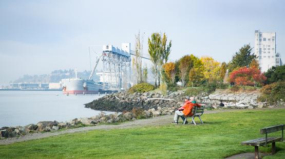
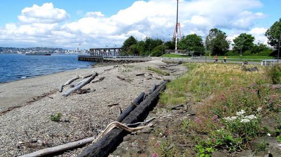
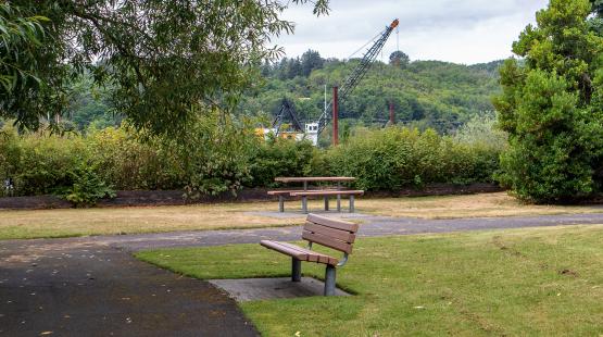
The Jack Perry Memorial Park a 1.1 acre park. It is the first public shoreline access south of downtown and provides kayak access, views of terminal operation and a coast guard station, and has benches and parking. It offers a close-up view of activities along a container terminal on Harbor Island. Notable is it's profusion of madrona trees sprouting up from the rocks. Madronas were once common along the waterfront but being slow growing, vulnerable to disturbance, and hard to transplant, they are much less so today.
Public shoreline access features include 370-foot long, 8-foot wide graveled pathway to the river where there is a hand-carried boat launch for your small watercraft. As with all parks maintained by the Port of Seattle, organic landscaping practices are used at Salmon Cove Park and Shoreline Habitat, formerly Turning Basin #3. Native plantings and wildlife, important to the ecological restoration of the Duwamish River, thrive here. Salmon Cove offers access to the northernmost end of the Green River Trail, log benches, interpretive signage, and up to five vehicles may park along the roadway. Hours are dawn to dusk.
sbəq̓ʷaʔ Park and Shoreline Habitat (formerly Terminal 108/Diagonal Park) is probably the best small boat launch site on the Lower Duwamish Waterway (LDW). Protected by a small indentation at the end of Diagonal Way, sbəq̓ʷaʔ Park offers plenty of parking and is notable as one of approximately 12 habitat mitigation areas along the LDW shoreline. It's a perfect site to watch tugboat activities or have a picnic lunch. Hours are from dawn to dusk.